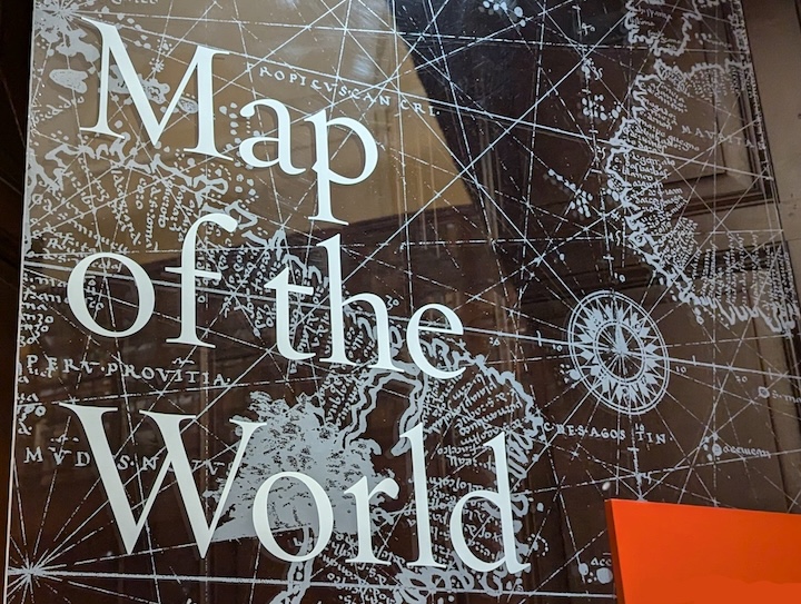
Random tidbit: Some of you may know, I make maps for a living. Well, that’s not entirely true.
I’m a Geographic Information Specialist. I mostly tell my computer to manipulate data–spatial data. We have a saying in our industry: Everything is spatial.
Ha!
Yes, it’s a pun and very true.
Anyway, I’m going off on a tangent. That was supposed to be a segue into explaining those lines crisscrossing old maps. Not a very good transition, but here we are.
As someone who spends a lot of time creating maps, modern maps have very little use of windrose lines or rhumbline networks. But that’s not a very good term to use as it can get confused with the modern use of rhumbline.
Without getting into the weeds, windrose lines are simply a navigational aide.
In today’s world, very few people use their maps to navigate with a compass, so though I always add some sort of cardinal direction indicator on my maps, it’s not pertinent most of the time.
In the age of exploration, however, it was pertinent. A matter of life and death. Cartographers added those to their maps to help sailors determine the correct course across a seemingly endless sea. They used the windrose lines to draw a parallel line from their current location to where ever they wanted to go.
While not a perfect system (since the windrose network didn’t account for the earth’s curvature), with enough of them, it worked.
And they created really cool looking maps.
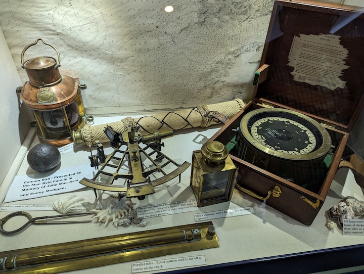
Tools of the trade. Photo taken by me at the Blennerville Windmill in Kerry County, Ireland (great place). Note: See the parallel ruler at the bottom of the image above. That’s what navigators used to create their “line of course.”
There are those who follow maps. And those who make them.
Alberto Villoldo

